“The first real challenge? You could say that again.”
“This time things have changed up there,” Joseph said. “There are now roads. It used to be a 28 day trek, now the trek can be 3 days. It’s changed the trekking industry, (and) the lodge industry who support the trekkers up there with rooms and food.”
Despite the changes from the encroachment of civilization and technology, nothing can impact the immensity of the Annapurna mountains.
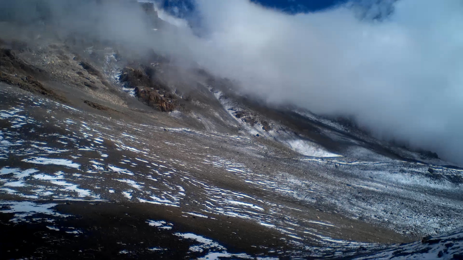
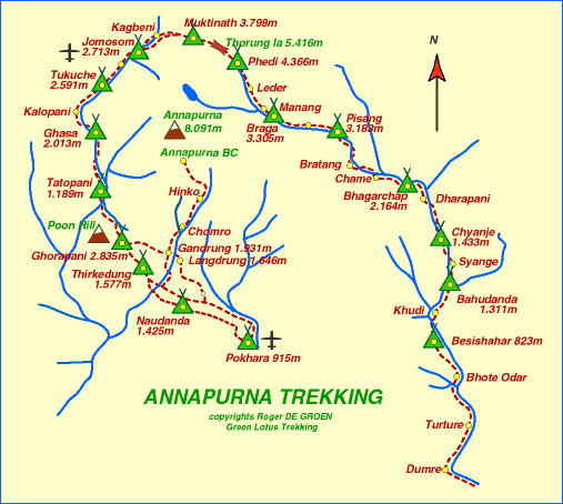
The Thorong La Pass is a mountain pass on the Annapurna side of the Himalayas, which connects two villages, Manang and Muktinath. At 17,872.8 feet above sea level, it is no joke of a region.
The safest months to travel the pass are in October and November, which is precisely the time Joseph picked. Otherwise, trekkers run the risk of avalanches and frostbite, due to the frigid nature of the region.
Of course, that doesn’t mean there isn’t any risk involved by travelling through the pass. As recent as 2014, a snowstorm took trekkers by surprise, taking the lives of 32 people.
“I climbed the Thorong La, and it’s a bitch going down,” Joseph said. “It takes me forever to go down. By the time I get to bottom of that, my legs are like spaghetti. I can’t even get into Muktinath.”
Despite his exhaustion, Joseph did eventually make it out to Jomsom, a central hub in the area that allows for several different hiking options. Ironically, this is where he injured himself.
“I get my hotel,” Joseph said. “Here I am, in my shower, I slip, dislocate my little finger on my left hand.”
Even though the injury was relatively minor, he didn’t feel confident climbing. Within a few days, he took a plane out to Thailand and eventually Cambodia.